Signal Failure Isn't a Plan: How to Stay Contactable in the UK's Dead Zones
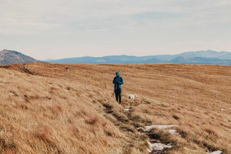
Stand on the wrong side of a Lakeland fell and your phone turns into a very expensive torch. That's not a dramatic statement; it's a Tuesday. The UK is stitched together with valleys, glens, forest blocks and coastal folds that swallow signal with almost comic efficiency. And yet most of us still treat "I'll have my phone" as a comms strategy.
It isn't. A phone is one tool in a chain, and the chain only works if you've built it before you leave the car park. This is the bit where a little prep on a wet afternoon saves a lot of drama on a dark one.
The gap isn't the gadget — it's the plan
People buy a satellite messenger and think the job's done. But a gadget with no agreed contact, no check-in rhythm and no idea what happens when you're late is just expensive plastic. The real work is deciding, in advance, who expects to hear from you, when, and what they do if they don't.
That conversation takes ten minutes. Have it with someone who isn't on the trip. Give them your route, your rough timings, your vehicle details and the number for the relevant rescue service. Mountain Rescue England and Wales, Scottish Mountain Rescue and the coastguard all have clear 'if you're worried' guidance — point your contact at it rather than leaving them to guess.
Offline maps: the bit everyone means to do
Download the map area before you go. Not the night before, on hotel wi-fi that's doing its best. Actually download it, open it, zoom in on the bit you'll walk, and check the contour lines render. OS Maps, Komoot, Outdooractive and a stack of others will all cache tiles, but they won't do it retroactively when you're in a dead spot wishing you'd been more organised.
Two small habits make a big difference. First, carry a paper map and compass as the backup — not as a nostalgia project, but because batteries die and screens crack. Second, screenshot your route and key grid references. A screenshot works in airplane mode and doesn't care about your subscription status.
And learn what a grid reference looks like in practice. If you have to ring 999 and ask for mountain rescue, being able to say "we're at NY 262 074" is worth a thousand words of "near the big rocky bit". What3Words is useful too, but it relies on the app working, so don't make it your only trick.
Check-in timings that actually mean something
"I'll text you when I'm down" is not a check-in. It's a hope. A real plan has specific times and a specific overdue trigger.
Pick two or three moments: leaving the car, reaching the summit or turn-around point, and being back at the vehicle. Add a margin. If you say you'll text by 4pm, agree that your contact raises the alarm at 5pm if they've heard nothing. That hour is your buffer for a slow descent, a lost glove faff or a pub stop that ran long.
Tell your contact what the alarm looks like. Who do they ring? What details do they give? Have they got your route written down? This is the unglamorous admin that makes the difference between a coordinated response and a panicked ring-round.
Satellite messengers vs PLBs: what's the actual difference?
This is where people get muddled, so here's the short version.
A satellite messenger — Garmin inReach, Zoleo, Somewear and similar — lets you send and receive messages, share a live track and trigger an SOS. It's a two-way conversation tool. The catch is the subscription, and the fact that it needs charging and a clear view of the sky. It's brilliant for reassuring a partner and for routine check-ins from places with no bars.
A PLB — personal locator beacon — is a one-trick pony, but it's a very good trick. Press it and it sends a distress alert on 406 MHz with your registered details to the rescue authorities. No subscription, but you must register it with the MCA, and it's for genuine emergencies only. It won't send "running late, all fine" messages. It's the nuclear option, and that's the point.
Some people carry both. Most carry one and understand its limits. What matters is that you know which one you've got, how it works, and what it can't do. A PLB won't tell your mum you're okay. A satellite messenger won't work if you've left it in the car.
Test it on a Tuesday, not a summit
This is the step almost everyone skips. Test your comms plan before the trip.
Send a test message from your satellite device to your contact. Check they receive it. Walk up a local hill with no signal and see what your phone actually does — does the offline map load? Does the GPS hold? Does your power bank charge the thing while it's cold? Cold drains batteries fast, so keep your phone and any comms kit in an inside pocket, not a rucksack lid.
Ring your contact and walk them through the plan. "If you haven't heard by 5, ring this number, say this." It feels over the top. It isn't. It's the difference between a plan and a vibe.
The five-minute pre-trip check
Before you lock the car, run this list:
- Offline map downloaded and opened.
- Paper map and compass packed.
- Phone charged, power bank charged, cables present.
- Comms device charged and tested recently.
- Check-in times agreed with a named contact.
- Overdue trigger agreed and understood.
- Route and vehicle details shared.
- Rescue number saved: 999, ask for police then mountain rescue, or coastguard for coastal incidents.
None of this replaces experience, judgement or a good pair of boots. But it does mean that when the signal drops — and it will — you're not relying on luck. You're relying on a plan you built on a wet Tuesday, which is exactly the sort of preparation that lets you get on with the good bit: being out there.